
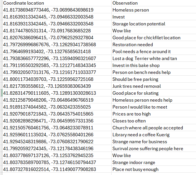
In the future, we will all be a part of current condition and desired future condition. One of the ways that we can contribute is providing observations, patterns, suggestions, hypotheses, investment areas, and anything else you can imagine To the Unidiversity Research Explorers Cycle or We-Me Cycle for short. This data information cumulative knowledge collected with the location, enabled, integrated device or spatial enabled integrated device will be Updated for everyone everything everywhere on earth for planning purposes. This is how everyone on earth will contribute. When information involves planning it’s called. People scoping, and people will provide this to planners to understand needs better. Data collected can be anything imaginable, but it should be something that’s important for other people to know. Once this data goes up to the Unidiversity it is used and distributed to those that are interested in solving problems, Being aware, understanding patterns, and creating hypotheses with all data available. Moreover, all of this data will be used to transition from our current condition to our desired future condition as has been planned by each of us and all of us everyone everything everyone on earth as a cycle. This allows us to dynamically and continuously Adapt to changing conditions And Updated observations as they occur. Overtime, problems will be solved and data points will change. This is called progress and everyone is involved in progress. Please see the above database showing the coordinates and the observations by a random user. In the future, it may be possible that our location enabled and spatial enabled, integrated device will have a laser rangefinder attached to it So that mapping will be much easier. Nobody does it better than each of us and all of us together. World without end….
We envision a world where the transformation from our current realities to our desired collective future is not a distant aspiration, but a continuously informed, adaptive, and collaborative journey.
At the heart of this vision lies the **Global Intelligence and Adaptive Planning System (GIAPS)**, an innovative ecosystem designed to harness the power of distributed observation and collective insight. GIAPS invites every individual to actively contribute their unique perspectives, observations, and data points, thereby weaving a rich and dynamic tapestry of understanding that reflects our shared global experience.
Utilizing advanced, location-aware and spatial-enabled integrated devices, each of us can provide real-time input encompassing observations, emerging patterns, innovative suggestions, critical hypotheses, and strategic investment areas. This is more than just data; it represents a living, cumulative body of knowledge, meticulously collected and curated to establish a comprehensive, universally accessible repository. Imagine a global nerve center where this vital information is continuously updated and made available to decision-makers and planners across all sectors, providing an unparalleled foundation for strategic foresight and impactful planning.
This system effectively transforms individual “scoping”—the identification of needs and possibilities—into a powerful engine for global strategy. By empowering planners and leaders with diverse, on-the-ground insights, we ensure that future initiatives are robustly grounded in genuine needs and a holistic understanding of our world. The scope of potential contributions is vast and boundless, encompassing any information deemed significant for collective awareness and progress.
Once integrated into GIAPS, this invaluable data becomes the bedrock for proactive problem-solving, fostering deeper collective awareness of global dynamics, enabling the identification of subtle and emergent patterns, and facilitating the construction of robust hypotheses. It empowers us all to collaboratively steer our collective journey from present conditions toward a meticulously planned and highly desirable future. This dynamic, cyclical process ensures that we can continuously adapt to evolving conditions and integrate new observations as they occur, driving relentless progress. This continuous evolution ensures that challenges are addressed efficiently, and our collective understanding deepens with every new data point, truly engaging everyone in the journey forward.
As demonstrated by the illustrative database showcasing user-contributed observations and coordinates, the tangible potential of this collaborative approach is already being realized. Looking ahead, imagine our integrated devices augmented with state-of-the-art technologies such as laser rangefinders, dramatically simplifying high-precision spatial mapping and comprehensive data capture.
Our collective strength lies in our unity. By working together, both individually and as a unified global community, we possess the unprecedented capability to proactively shape and forge a better, more resilient world for all.